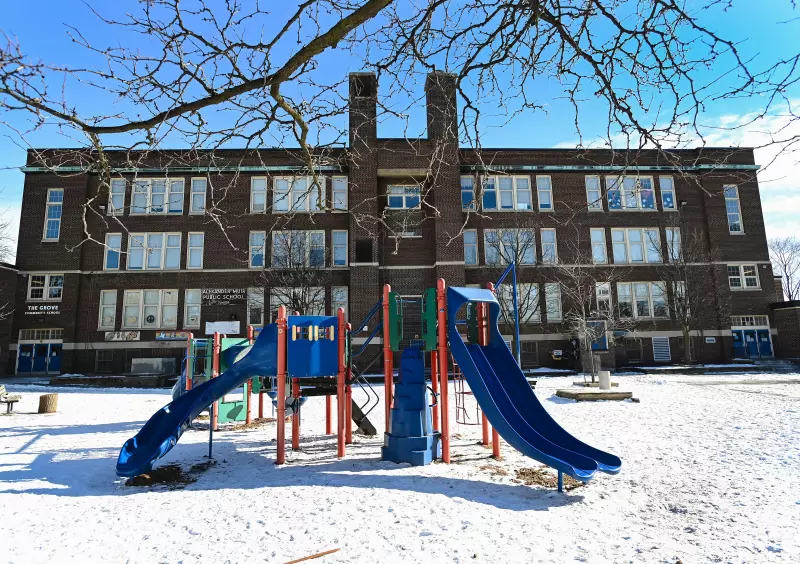
Parents and community planners across Canada now have a powerful new tool to assess how their local areas stack up for children's outdoor recreation. A newly released interactive map ranks neighbourhoods nationwide based on their "playability"—the quality and accessibility of spaces for kids to play outside.
What is Playability and How is it Measured?
The map, launched on January 18, 2026, evaluates communities using a range of criteria designed to gauge how conducive they are to unstructured outdoor play. While the specific metrics behind the ranking algorithm are detailed within the tool, they generally focus on factors like access to safe, public play spaces such as parks, playgrounds, and green areas. The visual representation of the data allows users to zoom in on their city or town and see a comparative score for their immediate area.
The concept moves beyond simply counting playgrounds. True playability considers the overall environment: Is it safe for children to walk or bike to a play area? Are the spaces inviting and well-maintained? The map provides a snapshot of which Canadian communities are successfully creating environments where children can regularly engage in the crucial physical and social development that comes from outdoor play.

The Context: Why Playability Matters Now
This initiative arrives at a time when concerns about children's sedentary lifestyles, screen time, and connection to their local environment are prominent. The release of the map prompts important conversations about urban planning, community health, and equity. It raises questions about whether all neighbourhoods offer equal opportunities for children's recreation or if disparities exist based on location or socioeconomic factors.
The development of this national playability tracker signifies a growing recognition of outdoor play as a vital component of public health and community well-being, not merely a leisure activity. It provides tangible data that community groups, parent councils, and municipal governments can use to advocate for improvements in local infrastructure and planning priorities.
Exploring the Tool and Its Implications
Users can access the map online to explore rankings. The tool's launch encourages Canadians to look up their own postal code and see their community's standing. This immediate, personalized result is designed to drive engagement and awareness at the grassroots level.
The long-term hope among child development advocates is that this data will inform future policy and investment. By highlighting top-performing communities, the map sets a benchmark. Conversely, it can identify areas that may be "playability deserts," signaling where resources and attention are most needed to ensure all Canadian children have the opportunity to play freely and safely outdoors.
As cities continue to grow and densify, tools like this playability map become essential for ensuring that the needs of the youngest residents are not overlooked in the planning process. The map is more than a ranking; it's a catalyst for building healthier, more playful communities across the country.