Spring Floods Return to Ottawa Region with Rising River Levels
The National Capital Region is once again confronting the annual threat of spring flooding as persistent rainfall and accelerated snowmelt combine to elevate water levels along the Ottawa River. Several districts, particularly those adjacent to the river, are approaching flood thresholds after nearly a week of steady precipitation.
Current Flood Conditions and Warnings
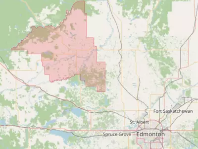
The Ottawa River Regulation Planning Board has issued alerts indicating that water levels have reached or will soon reach minor flood stages in vulnerable areas stretching from Pembroke downstream to Carillon at the Ontario-Quebec border. This situation results from heavy rains and faster-than-normal snow melting, which have collectively pushed the river toward critical levels.
In Gatineau, municipal officials anticipate flood waters matching 2023 levels by Sunday, with water levels on the Quebec side of the Ottawa River already increasing by up to 14 centimetres. The city has identified 33 roads and 119 buildings at potential risk of flooding in the coming days based on current conditions.

Gatineau Mayor Maude Marquis-Bissonnette emphasized preparedness in a statement, saying, "We are keeping a close eye on the entire territory and adjusting our interventions as the situation changes. All necessary resources are at the ready, prepared to respond quickly to any eventuality, in collaboration with our partners, to guarantee the public’s safety at all times."
Municipal Responses and Precautions
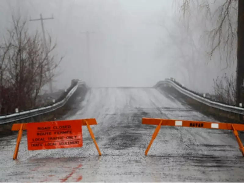
The City of Ottawa has proactively closed several roads and pathways as a precautionary measure, including Tweddle Road leading to Petrie Island. Both Ottawa and Gatineau have established multiple sandbag distribution stations where residents can obtain materials to protect their properties from potential inundation.
Residents like Bethany MacNeill, who was filling sandbags in Constance Bay on Friday, have experienced flooding in previous years—including 2013, 2017, and 2019—using up to 3,000 bags around her home during those events. This historical context underscores the recurring nature of flood risks in the region.
Weather Forecast and Additional Concerns
Environment Canada issued a concerning weather statement on Friday, predicting additional rainfall of 10-20 millimeters from Saturday into Sunday. With the ground already near saturation, its capacity to absorb further precipitation is limited, increasing the likelihood of water pooling on roads and in low-lying areas.
The forecast includes a cold front sweeping through the region Saturday afternoon and evening, bringing showers and potential thunderstorms, followed by another round of showers possibly mixed with snow Saturday night into Sunday morning. Environment Canada advises residents to avoid driving through flooded roadways and steer clear of low-lying zones.
Rideau River Conditions
While the Ottawa River remains the primary area of concern, conditions along the Rideau River currently appear more favorable. The Rideau Valley Conservation Authority noted on Thursday that there are no immediate flooding indicators of concern, though it cautioned that it is too early to forecast peak river conditions, which depend on ongoing snowmelt and rainfall amounts.
As the situation evolves, authorities continue to monitor water levels closely, urging residents to stay informed and take necessary precautions to safeguard their properties and ensure personal safety during this spring flood season.