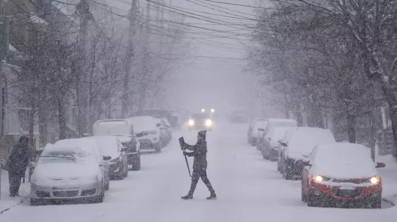
A significant winter storm is poised to sweep into Atlantic Canada, with Environment Canada issuing snowfall warnings ahead of its anticipated arrival on Sunday night. The developing Nor'easter is forecast to bring heavy snow and strong winds to parts of the region, potentially disrupting travel and daily routines.
Storm Track and Heaviest Snowfall Projections
Meteorologists are tracking the storm's path, which is expected to bring the most intense snowfall to specific areas. The heaviest accumulations are currently projected for coastal Nova Scotia and parts of New Brunswick, where snow could fall at rapid rates, significantly reducing visibility. The system is reminiscent of a major storm that blanketed Halifax in late January 2025, an event that led to widespread school closures and travel interruptions across Nova Scotia.
Timing and Potential Impacts
The main impact from this Nor'easter is scheduled for Sunday night, January 18, 2026, and into Monday morning. Residents in the warning areas should prepare for difficult driving conditions, possible power outages due to a combination of wet snow and gusty winds, and delays for public transportation. Officials may issue further advisories regarding school closures or municipal service changes as the storm's track becomes more certain.

Preparing for the Winter Blast
With the storm imminent, authorities are urging Atlantic Canadians to take standard winter preparedness steps. This includes checking emergency kits, planning for possible travel delays, and ensuring alternate heating sources are ready if needed. Residents are advised to monitor updated forecasts from Environment Canada, as the exact track of the Nor'easter could still shift, altering which communities receive the brunt of the snowfall.
This developing weather story underscores the potent and disruptive nature of winter storms in the region. Staying informed and prepared is the best defense against the impending Nor'easter's effects.