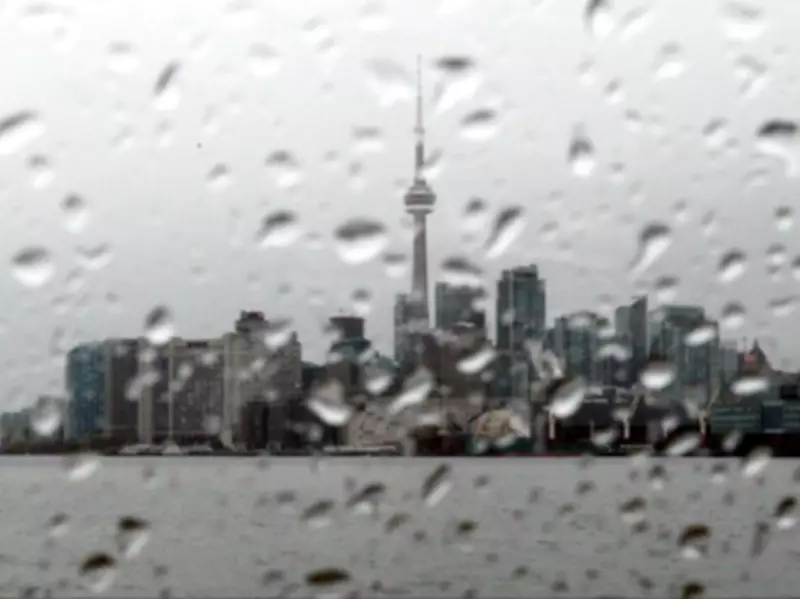
Winter is making a brief but noticeable return to Toronto this week before spring warmth reasserts itself, according to the latest forecasts from Environment Canada. The city is poised for a frigid interlude with temperatures set to plummet before rebounding dramatically in the coming days.
A Chilly Start to the Week
Environment Canada has indicated that Toronto could experience a low of -13°C with wind chill on Tuesday morning, accompanied by a 40% chance of flurries. This sudden dip follows relatively mild conditions, serving as a reminder that April weather remains notoriously unpredictable in the region.
"The cold is forecast to be short-lived," notes the meteorological agency, with temperatures expected to warm to approximately 2°C by Tuesday afternoon. This rapid transition underscores the volatile nature of early spring weather patterns in southern Ontario.

Gradual Warming Through the Week
Following Tuesday's chilly conditions, Toronto's weather is projected to improve steadily. Wednesday should bring clear but cool skies with temperatures ranging from 3°C to 5°C. The warming trend accelerates on Thursday and Friday, with highs reaching 16°C and 8°C respectively, though these days also carry increased rain probabilities of 30% and 60%.
The weekend promises more pleasant conditions with Saturday's high expected to reach 12°C and Sunday climbing to 15°C under clearer skies. This rollercoaster pattern mirrors recent fluctuations that saw temperatures soar to 18°C on Good Friday before cooling over the weekend.
Normal Spring Volatility
Meteorologists emphasize that such variability is entirely typical for early April in the Toronto region. "Weather for early April is often unpredictable," explains the forecast, "ranging from sunny and pleasant to brisk and wet, with the potential for occasional flurries." Historical averages for this period typically see highs between 7°C and 14°C, with lows hovering around 0°C to 6°C.
Northern Ontario's Persistent Winter
While Toronto experiences a temporary chill, winter maintains a stronger grip on northern Ontario. A special weather statement has been issued for areas around Lake Superior, where temperatures are expected to drop to -23°C Monday night. Tuesday morning could bring wind chill values of -21°C, with afternoon temperatures struggling to reach -10°C.
Snow and rain are forecast to persist through Saturday in these northern regions before conditions finally clear and temperatures rise to approximately 9°C. This contrast highlights the significant weather disparities that can exist across Ontario during seasonal transitions.
The fluctuating conditions serve as a reminder that spring's arrival is often gradual and inconsistent across the province, with winter occasionally reasserting its presence before yielding completely to warmer temperatures.