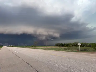
The National Hurricane Center has announced the formation of Tropical Storm Boris off the southern Pacific coast of Mexico. The storm, which developed on June 8, 2026, is moving westward and is expected to strengthen in the coming days. Residents in coastal areas are advised to monitor updates and prepare for potential impacts, including heavy rainfall and strong winds.
Storm Development and Path
According to meteorologists, Tropical Storm Boris formed from a low-pressure system that intensified rapidly over warm ocean waters. The storm currently has maximum sustained winds of 65 kilometers per hour, with higher gusts. Forecast models indicate that Boris will continue moving away from the coast, but it may bring heavy rains to parts of southern Mexico and Central America.
Precautionary Measures
Local authorities have issued warnings for small craft to remain in port and for residents in low-lying areas to be vigilant against flooding. The National Hurricane Center emphasizes that while Boris is not expected to make landfall, its outer bands could cause dangerous surf and rip currents along the coastline.

- Stay informed through official weather channels.
- Secure loose objects and prepare emergency kits.
- Avoid swimming or surfing in affected areas.
This marks the second named storm of the Eastern Pacific hurricane season, which typically runs from May through November. The first storm, Tropical Storm Alberto, formed earlier in the month but did not pose a significant threat to land.