Ottawa River Flood Risk Intensifies as City Implements Road Closures
Increased rainfall and warmer temperatures are driving elevated water levels along the Ottawa River, prompting the City of Ottawa to close several roads in low-lying areas. This situation has raised concerns about potential flooding, with authorities issuing warnings and advisories to keep residents safe.
Flood Warnings and Statements Issued by Authorities
Ontario’s Ministry of Natural Resources has issued a flood warning for sections of the Ottawa River from Pembroke to Arnprior, effective until Friday. Concurrently, local conservation authorities have released flood outlook statements from Arnprior to Hawkesbury, citing the combined effects of rain and warm temperatures on water levels.
While the risk may be lower for parts of the river north of Ottawa, these statements serve as an early alert for possible flooding in the region. According to the Rideau Valley Conservation Authority, "While there are currently no flooding indicators of concern, it is still too early to forecast peak river conditions which remain dependent on snowmelt and rainfall amounts."

Road Closures and Infrastructure Impacts
In response to the rising waters, the city has closed multiple roads to manage water pooling and flood control. Key closures include:
- Tweddle Road, the main access route to Petrie Island, closed at the marina, with Oziles’ Marina also shut down.
- Boisé Lane in Cumberland and the north end of Blair Road at the marina.
- Ray Wilson Road between York’s Corners Road and Gregoire Road in Osgoode, in the city’s south end.
Water levels have risen to match Tweddle Road, causing pooling on the sides of the pebbled roadway, with orange closure signs blocking island access. These measures aim to prevent accidents and property damage as conditions evolve.
Monitoring and Preparedness Efforts
Beth Gooding, director of the city’s Public Safety Service, explained that water levels on the Ottawa River have surged rapidly this week due to rain, warm temperatures, and upstream snowmelt. "Forecasts indicate that some Ottawa area levels may approach or exceed those seen in 2025," Gooding said, noting that localized flooding is expected in low-lying areas over the coming weeks.
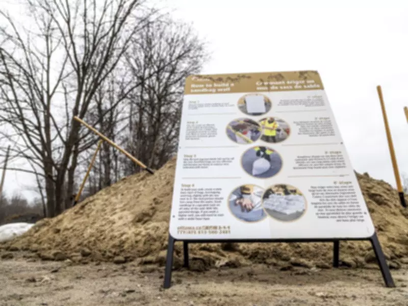
A city task force is actively monitoring the situation and has established 14 sandbag stations across Ottawa, including one at the Constance Bay Community Centre, as part of flood preparedness efforts. Gooding emphasized, "We’re encouraging residents in flood prone areas to stay informed and to take basic precautionary and planning steps. Conditions are manageable right now, but we need to keep close watch and stay ready if things shift."
Water Level Data and Forecasts
Recent measurements highlight the severity of the situation. At Britannia Beach, water levels were recorded at 59.15 cubic metres per second above sea level as of Wednesday, surpassing the 30-year median of 58.89 cubic metres per second for this date. Data from the Ottawa River Regulation Planning Board forecasts levels could reach up to 60 cubic metres per second by Saturday.
Similarly, at the Ottawa River in Gatineau, levels were observed at 42.9 cubic metres per second on Wednesday, above the median of 42.24 cubic metres. Forecasts predict further increases in the coming days, underscoring the need for vigilance among residents and officials alike.