Conservation Authority Monitors Thames River as Rain and Snowmelt Elevate Flood Risk
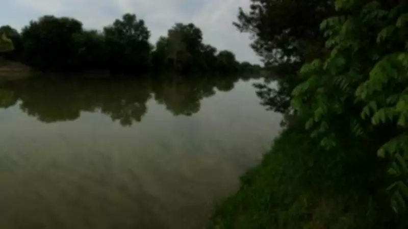
The Lower Thames Valley Conservation Authority has intensified its monitoring of the Thames River in southwestern Ontario as a combination of heavy rainfall and rapid snowmelt raises significant flood concerns. Officials are tracking water levels closely along the river's course through Chatham-Kent and surrounding regions, where precipitation and melting winter accumulations are creating potentially hazardous conditions.
Weather Conditions Driving Flood Concerns
Recent weather patterns have brought substantial rainfall to the Thames River watershed area, coinciding with warmer temperatures that are accelerating snowmelt from winter accumulations. This dual effect is increasing water volumes flowing into the river system, testing its capacity and raising alarms among conservation officials. The authority is particularly concerned about low-lying areas and communities along the riverbanks that have experienced flooding in previous years.
Monitoring efforts include regular water level measurements, assessment of river flow rates, and evaluation of soil saturation levels throughout the watershed. Conservation authority staff are maintaining constant communication with municipal emergency services and local governments to coordinate response plans should flood conditions develop.

Historical Context and Preparedness Measures
The Thames River has a documented history of flooding during periods of heavy precipitation and rapid snowmelt. Historical data from events like the June 2017 flooding provides valuable context for current monitoring efforts. Conservation officials are applying lessons learned from previous flood events to enhance their predictive capabilities and response strategies.
Current preparedness measures include:
- Regular updates to flood forecasting models incorporating real-time weather data
- Coordination with municipal drainage systems to manage excess water
- Public advisories for residents in potentially affected areas
- Inspection of flood control infrastructure including dams and diversion channels
Regional Impact and Community Response
Communities along the Thames River corridor are preparing for potential flooding as conservation authority warnings circulate. Municipal governments in Chatham-Kent and surrounding areas are reviewing emergency response plans and ensuring that necessary resources are available should evacuation or other protective measures become necessary.
The conservation authority emphasizes that while current conditions warrant close monitoring, the situation remains fluid and dependent on continued weather patterns. Additional rainfall or accelerated snowmelt could quickly escalate the flood risk, while drier conditions could alleviate concerns. Residents are advised to stay informed through official channels and prepare emergency kits as a precautionary measure.
This monitoring situation reflects broader environmental challenges facing watershed management in changing climate conditions, where traditional seasonal patterns are becoming less predictable and extreme weather events more frequent.