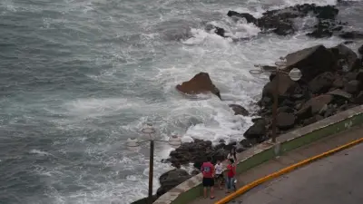
Flood waters along the Ottawa River have begun to stabilize, yet residents in several severely impacted communities are now preparing for a possible second surge of water. This development comes as authorities monitor weather patterns and the gradual melting of snowpack in the northern reaches of the Ottawa River basin.
Potential Second Pulse of Water
Allan Joyner, a board member with West Carleton Disaster Relief, explained that the situation hinges on weather conditions and the rate of snowmelt in northern areas. He noted that historically, there is typically a seven- to ten-day lag between the crest of the initial flood and the arrival of a second pulse.
"It will gradually go down until we get that second pulse of water. There's still snow up there. You can see it on satellite images," Joyner stated, emphasizing the ongoing risk despite current stabilization.

Current Water Levels and Forecasts
According to the Ottawa River Regulation Planning Board's update on April 22, water levels and flows are stabilizing between Lac Coulonge and Lac Deschênes, covering the stretch from Chats Falls Dam near Fitzroy Harbour to the Deschênes Rapids at Britannia. The board reported that spring runoff from the central unregulated portion of the basin is slowly decreasing, while northern reservoirs continue to retain runoff from those regions.
The planning board further indicated that between Gatineau-Hull and Carillon, water levels and flows are expected to start stabilizing later on April 22. However, as spring runoff from the central area recedes, runoff from the Abitibi-Timiskaming region will increase, leading to a gradual rise in water levels and flows between Mattawa and Pembroke over the coming days.
Impact on Communities
The City of Ottawa has reported that the first phase of the freshet appears to have peaked at or just below the level recorded in 2023. Despite this, officials are urging residents to maintain protective measures such as sandbag walls and to continue monitoring the situation closely, as conditions remain dependent on weather and any remaining inflow from the northern basin.
Major flood levels, defined as water levels where one or several streets begin to flood, affecting multiple homes, buildings, or entire neighborhoods, have been exceeded at many locations between Lac Coulonge and near the Montreal area.
Specific Community Reports
In Gatineau, water levels and flows are also stabilizing, with the peak water level expected on April 22, about 15 centimetres lower than previously forecast. The city has identified approximately 190 buildings at potential risk of flooding and 296 buildings at risk of being isolated, totaling around 486 buildings. As of April 22, 46 streets have been affected by rising water levels, including 13 that are only accessible by waterways.
In West Carleton, flooding has been reported in several areas:
- Willola Beach near Fitzroy Harbor
- Vydon Acres
- Armitage Avenue near Dunrobin
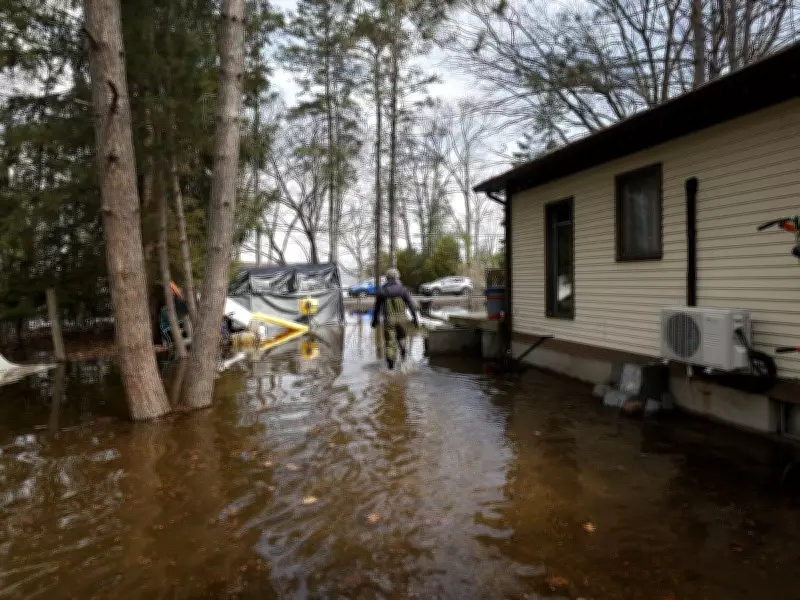
- Constance Bay, where some homes blocks away from the Ottawa River have experienced basement flooding due to water seeping in from saturated soil
Residents in these communities are hoping for the best but preparing for the worst as the river remains a threat. The city continues to emphasize the importance of community vigilance and preparedness in the face of uncertain weather conditions and ongoing snowmelt.