Maritime Weather Shifts: Snow and Freezing Rain Expected Wednesday Night to Thursday
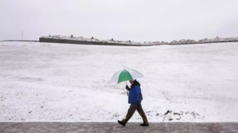
A significant weather change is forecast for the Maritimes region, with conditions expected to deteriorate from Wednesday night into Thursday morning. The shift will bring a mix of snow and freezing rain, potentially creating hazardous travel conditions and impacting daily activities across Atlantic Canada.
Weather Pattern Transition
Meteorological models indicate a transition from current conditions to more wintry precipitation beginning late Wednesday evening. The system moving into the region is expected to bring precipitation that may start as snow before transitioning to freezing rain in some areas, particularly along coastal regions where temperatures may hover near freezing points.
Residents should prepare for slippery roads and reduced visibility during the overnight hours and into Thursday morning's commute. The timing of this weather event coincides with typical travel periods, raising concerns about transportation disruptions and safety hazards.

Historical Context and Regional Impacts
This weather pattern follows similar events that have affected the region in recent years. Historical data shows that March weather in the Maritimes can be particularly volatile, with rapid transitions between precipitation types as temperatures fluctuate around the freezing mark.
Coastal communities may experience different conditions than inland areas, with the potential for more freezing rain near shorelines where maritime influences moderate temperatures. The exact distribution and intensity of precipitation will depend on several atmospheric factors that meteorologists continue to monitor closely.
Preparation and Safety Recommendations
Local authorities typically recommend several precautions when such weather is forecast:
- Check weather updates regularly for the latest forecasts and warnings
- Allow extra travel time for Thursday morning commutes
- Ensure vehicles are prepared for winter driving conditions
- Have emergency supplies available in case of power outages
- Monitor local school and business closure announcements
The duration of this weather event is expected to be relatively brief, with conditions improving through Thursday as the system moves out of the region. However, even short periods of freezing rain can create significant ice accumulation on surfaces, making caution particularly important during the overnight and early morning hours.
Weather services will continue to provide updates as the system approaches and its exact track becomes clearer. Residents are encouraged to stay informed through official weather channels and local media outlets for the most current information about this developing weather situation in the Maritimes.