A significant winter storm watch has been issued for much of Northern California as travelers embark on the Presidents Day holiday weekend. Communities across the region are preparing for the possibility of several feet of snow, which is expected to cause major disruptions to travel plans.
National Weather Service Issues Stern Warning
The National Weather Service has issued a stark warning for those traveling to and from the Sierra Nevada and its popular ski resorts. Meteorologists are advising the public to anticipate "major travel impacts" and to exercise "extreme caution" on the roads.
Dakari Anderson, a meteorologist with the National Weather Service in Sacramento, provided insight into the timing of the storm. "Saturday through Sunday morning is going to be the 'best travel window' ahead of the incoming cold weather system," Anderson told The Associated Press.

Impending Snowfall and Travel Disruptions
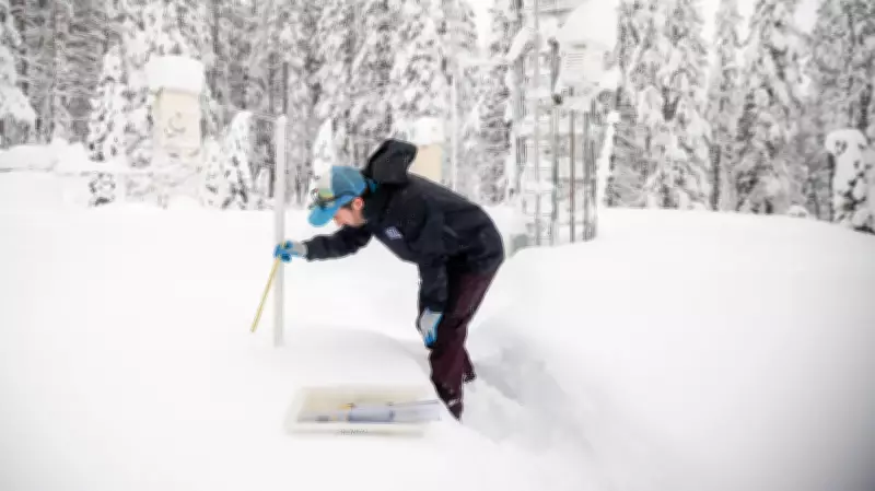
While conditions remained relatively calm on Saturday, the situation is forecast to deteriorate rapidly by Sunday afternoon. Communities situated at elevations between 3,000 and 4,000 feet (914 to 1,219 meters) are expected to receive between 1 and 2 feet (30 and 60 centimeters) of snow.
Anderson emphasized that the highest snow accumulations will occur in more remote, hard-to-reach areas. However, he noted that populated communities will still experience significant snowfall. "We're still going to see some of those heavier amounts in communities that are populated," he stated.
Extreme Conditions in Higher Elevations
Areas at higher elevations could face even more severe conditions, with potential snow accumulations reaching 6 to 8 feet (1.8 to 2.4 meters). One such location is Blue Canyon, a sparsely populated unincorporated community located at 4,695 feet (1,431 meters) of elevation, approximately 51 miles (82 kilometers) west of Lake Tahoe.
The City of South Lake Tahoe has proactively warned residents via social media, advising that anyone driving on Monday should "expect delays, possible road closures, and whiteout conditions."
Regional Preparations and Warnings
Local authorities are urging residents to take immediate precautions. The Shasta County Sheriff's Office encouraged people to utilize the clear weather on Saturday to prepare for the impending storm. In a Facebook post, the agency remarked, "It has seemed 'spring-like' for a large part of 2026, but winter is set to show it's not quite done yet."
This winter event is anticipated to last several days and may also affect portions of western Nevada and southern Oregon, expanding the area of potential impact beyond California's borders.
Broader Weather Patterns Across the U.S.
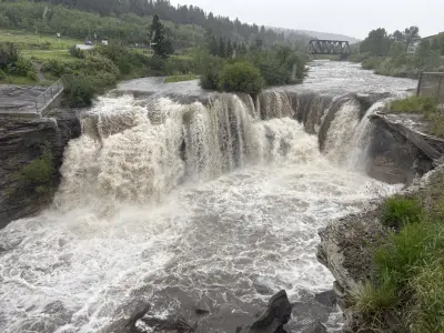
Concurrently, the central and southern United States are facing an excessive rainfall risk from Friday through Sunday. Parts of the southern Plains have been placed under a marginal risk (level 1 of 4) for excessive rainfall and flash flooding, adding another layer of weather-related challenges across the nation.
Travelers are strongly advised to check with transportation authorities such as Caltrans and the Nevada Department of Transportation for the latest road conditions and potential closures. The recommendation is to reach destinations by early Sunday afternoon before conditions significantly worsen.