Frostbite Onset Timeline: Medical Experts Warn Toronto Residents During Polar Vortex
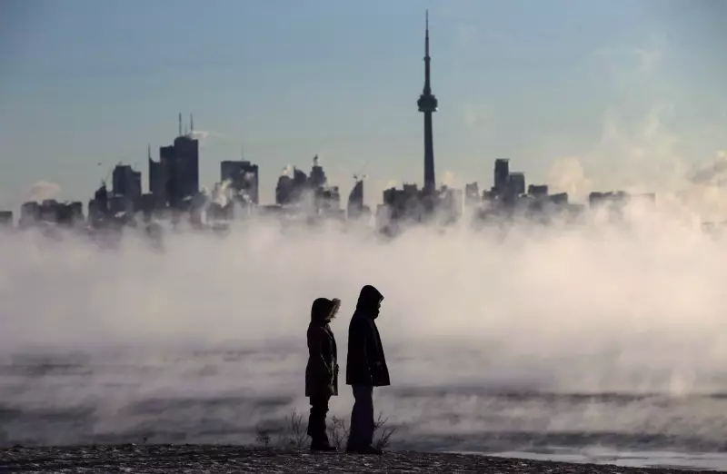
As a special weather statement remains in effect for Toronto and surrounding regions, bringing biting cold wind chills and significant snowfall, health professionals are issuing urgent warnings about frostbite risks. The polar vortex gripping the city has created dangerously low temperatures that can cause tissue damage in mere minutes under certain conditions.
How Quickly Does Frostbite Develop?
Medical experts emphasize that frostbite onset depends on multiple factors including temperature, wind speed, and exposure duration. In current Toronto conditions with wind chills approaching -30°C, exposed skin can develop frostbite in as little as 10 to 30 minutes. The colder the temperature and stronger the wind, the faster damage occurs.
"Many people underestimate how rapidly frostbite can set in during extreme cold," explains Dr. Sarah Chen, an emergency physician at Toronto General Hospital. "When wind chill values drop below -28°C, which we're experiencing now, the risk becomes immediate for anyone without proper protection."

Stages of Frostbite Development
Frostbite progresses through distinct phases that residents should recognize:
- Frostnip: The initial warning stage where skin becomes cold, red, and may tingle or feel numb. This reversible condition typically occurs within the first 5-15 minutes of exposure.
- Superficial Frostbite: Skin turns white or pale and feels waxy. Ice crystals form in tissue but haven't caused permanent damage yet. This stage can develop in 15-30 minutes in current conditions.
- Deep Frostbite: Affects all skin layers and underlying tissues, potentially causing permanent damage. Skin becomes hard, cold, and discolored (blue or gray). This severe stage can occur in 30 minutes to an hour in extreme cold.
Critical Risk Factors and Prevention
Several elements increase frostbite vulnerability during Toronto's cold snap:
- Wind chill: The combination of low temperatures and wind dramatically accelerates heat loss from skin
- Moisture: Wet clothing or skin freezes much faster than dry surfaces
- Exposed areas: Fingers, toes, ears, nose, and cheeks are most susceptible
- Medical conditions: Poor circulation, diabetes, and certain medications increase risk
- Alcohol consumption: Impairs judgment and increases heat loss through blood vessel dilation
Prevention requires layered clothing, covering all exposed skin, limiting outdoor time during extreme cold, and staying dry. "If you must be outside, check frequently for warning signs," advises Dr. Chen. "Any numbness, tingling, or color changes mean you need to get indoors immediately."
Toronto's Current Weather Context
The polar vortex bringing this dangerous cold follows a pattern of extreme winter weather affecting multiple Canadian regions. While Toronto faces bitter temperatures and anticipated snowfall, similar conditions are reported from Montreal to the Maritimes, with communities implementing emergency warming centers and cold weather protocols.
Environment Canada continues to monitor the situation, noting that while the current cold spell is severe, it represents typical polar vortex behavior amplified by broader climate patterns. Residents are advised to check updated forecasts regularly as conditions may change rapidly.
As Toronto endures this deep freeze, understanding frostbite timelines becomes crucial for public safety. With proper precautions and awareness of how quickly cold can injure, residents can navigate winter's harshest moments while minimizing health risks during this prolonged period of extreme temperatures.